Philip Gosset
B.Sc. Geospatial Engineering, ETH Zurich
About
Welcome to my Website!
Here you will find my CV as well as a portfolio of all my relevant public works from University. I'm currently working as an intern in GIS software development at GEOGRID AG in Thun until the end of August 2026.
Projects
Here are some links to projects I've made or contributed to during my bachelor's studies at ETH Zurich. Click one of the previews to see that project report.
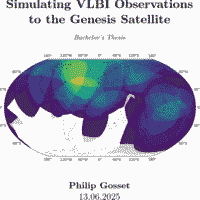
Simulating VLBI Observations to the Genesis Satellite
Bachelor's Thesis (English) — My thesis aided the development of the VLBI antenna component of the upcoming European Space Agency (ESA) Genesis Satellite.
https://doi.org/10.3929/ethz-c-000782949
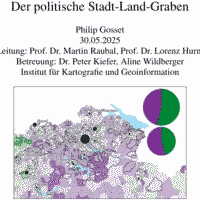
Der Politische Stadt-Land Graben
Course Project "GIS & Cartography" (German) — This project involved doing a spatial analysis based on Swiss referendum data. I used the Initiative for Corporate Responsibility to show a correlation between left-wing views and proximity to urban centers.
pgos.ch/GIS_Karto_Proj
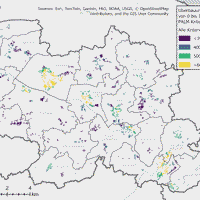
(...) Nachhaltige Siedlungsentwicklung im Mittelthurgau
Course Project "Applied Planning for Sustainable Urban Development" (German) — Besides writing and research, notable contributions I made to this group project were the data analysis and the ArcGIS maps describing various qualities and aspects of the empty buildable parcels in the region.
pgos.ch/projects/Philip_Gosset_Karto2_Fribourg.pdf
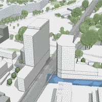
Zentrum Grünau: Transformation der Autobahnfläche in ein modernes Stadtquartier
Course Project "Integrated Spatial Planning in Cities and Districts" (German) — For this group project, apart from general writing, planning and research, I created visualizations of the planned developments as 2D maps using Procreate and as 3D models using Luucy.
pgos.ch/projects/Philip_Gosset_Karto2_Fribourg.pdf
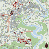
OCAD map of Fribourg
Exercise from the Lecture Cartography II (German) — This is a map of Fribourg that I designed based on unstylized map data that was provided by the course organizers to be designed in "OCAD" with my own highlights.
pgos.ch/projects/Philip_Gosset_Karto2_Fribourg.pdf
CV
Education & Employment
-
April–August 2026
Geogrid AG, ThunInternship as a Software Developer mainly focusing on geoinformatics and database management
-
September–December 2025
ETH ZurichPart-time job as teaching assistant to the "Geoinformation Technologies & Analysis" lecture (German/English)
-
2023–2025
Student Housing Cooperative WOKOPart-time Job as a "Housing Representative" at a dorm for international exchange students (Mostly English)
-
2022–2025
ETH ZürichBachelor's degree in Geospatial Engineering (German/English)
-
2021–2022
University of BernDiscontinued bachelor’s studies in Physics & Astronomy (German)
-
2017–2021
Gymnasium St-Michel, FribourgMatura (Bilingual French/German)
Languages
Trilingual — German, French and English:- German — Native Language
- French — All obligatory schooling done in french
- English — Daily usage at university and in private
General Skills
-
Web Development & Web Design
From lectures, projects and work — HTML, CSS, Javascript, (with Plugins like Leaflet, Jquery, D3, ...)
-
Python
From lectures, projects and work — Coding with Python, especially for geospatial data processing, data science and machine learning using libraries like Pandas/Geopandas, Rasterio, Scipy, Pytorch and Sklearn).
-
ArcGIS Pro & QGIS
From lectures, projects and work — Processing, analysing, and making cartographic visualizations of geodata using of ArcGIS/QGIS and Python.
-
Web GIS development
From lectures, projects and work — Setting up and managing HTTPS server infrastructure; hosting and maintaining interactive web servers with a Node, Apache or Python Flask back-end; Making responsive custom web map layers using WMS and WFS.
-
SQL (PostgreSQL, PostGIS, psql, etc)
From projects and work — Management of (Geo-) databases using SQL Queries and scripts.
-
Linux + Bash/Zsh scripting + SSH
From daily usage, projects and work — System and server administration; use of shell tools; Bash scripting; remote server management via SSH and SFTP.
-
Land-Use and Transportation Planning
From lectures and projects — Knowledge of land-use/urban planning at all administrative levels and experience in developing urban development concepts.
-
Surverying
From field courses, field exercises, and lectures — Practice in operating total stations and GNSS systems to collect spatial data.